|
|
Advertisements:
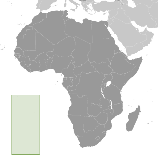
GeographyLocation
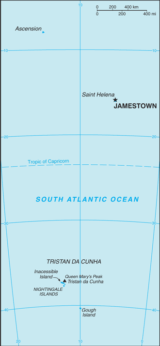
Islands in the South Atlantic Ocean, about midway between South America and Africa; Ascension Island lies 700 nm northwest of Saint Helena; Tristan da Cunha lies 2,300 nm southwest of Saint Helena Geographic coordinates
Saint Helena 15 57 S, 5 42 W
Ascension Island 7 57 S, 14 22 W Tristan da Cunha island group 37 15 S, 12 30 W Map references
Africa
Area World Ranking: 208
Total 308 sq km
Land Saint Helena Island 122 sq km; Ascension Island 88 sq km; Tristan da Cunha island group 98 sq km Water 0 sq kmArea - comparative
Slightly more than twice the size of Washington, DC Land boundaries
0 km
Coastline
Saint Helena 60 km
Ascension Island NA Tristan da Cunha 40 km Maritime claims
Territorial sea 12 nm
Exclusive fishing zone 200 nm Climate
Saint Helena
Tropical marine; mild, tempered by trade winds Ascension Island Tropical marine; mild, semi-arid Tristan da Cunha Temperate marine; mild, tempered by trade winds (tends to be cooler than Saint Helena) Terrain
The islands of this group result from volcanic activity associated with the Atlantic Mid-Ocean Ridge Saint Helena Rugged, volcanic; small scattered plateaus and plains Ascension Surface covered by lava flows and cinder cones of 44 dormant volcanoes; ground rises to the east Tristan da Cunha Sheer cliffs line the coastline of the nearly circular island; the flanks of the central volcanic peak are deeply dissected; narrow coastal plain lies between The Peak and the coastal cliffs Elevation extremes
Lowest point Atlantic Ocean 0 m
Highest point Queen Mary's Peak on Tristan da Cunha 2,060 m; Green Mountain on Ascension Island 859 m; Mount Actaeon on Saint Helena Island 818 m Natural resources
Fish, lobster
Land use
Arable land 12.9%
Permanent crops 0% Other 87.1% (2005) Irrigated land
NA
Natural hazards
Active volcanism on Tristan da Cunha Volcanism The island volcanoes of Tristan da Cunha (elev. 2,060 m) and Nightingale Island (elev. 365 m) experience volcanic activity; Tristan da Cunha erupted in 1962 and Nightingale in 2004 Environment - current issues
NA
Geography - note
Saint Helena harbors at least 40 species of plants unknown elsewhere in the world; Ascension is a breeding ground for sea turtles and sooty terns; Queen Mary's Peak on Tristan da Cunha is the highest island mountain in the South Atlantic and a prominent landmark on the sea lanes around southern Africa
Comments
Add a new comment: |
Advertisement
Members area
Saint Helena [ United Kingdom ] (Overseas Territory):
 
GPS points from Saint Helena [ United Kingdom ] (Overseas Territory)
|
||||||||

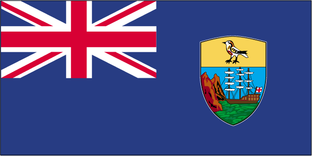
 Saint Helena is a British Overseas Territory consisting of Saint Helena and Ascension Islands, and the island group of Tristan da Cunha.